Cave Surveying
on expo
- Record cave
- Dimensions
- Rigging
- Question Marks
- Geology
Expo Handbook - surveying section
Basics
- Stations, straight lines between
- Station is a point
- Not too long legs
Stations
- Mark all stations
- Nail varnish
- Pencil
- Number from 1
- Number every 5 or junctions
- Names unique within each survey
- Note connections, don't renumber
- Describe stations
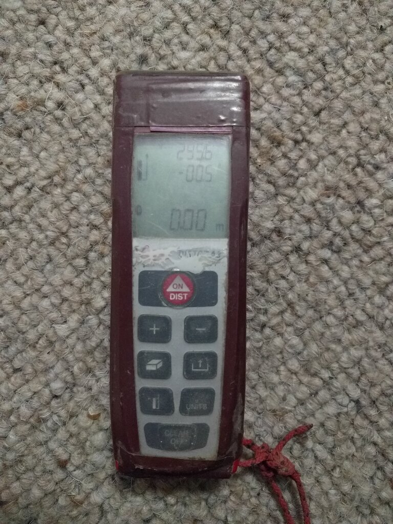
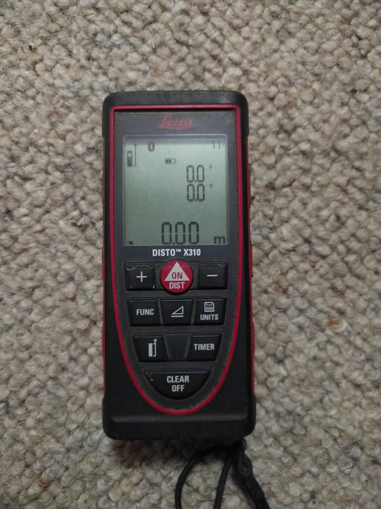
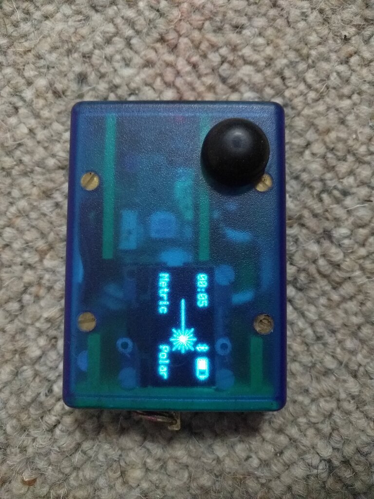
Instruments
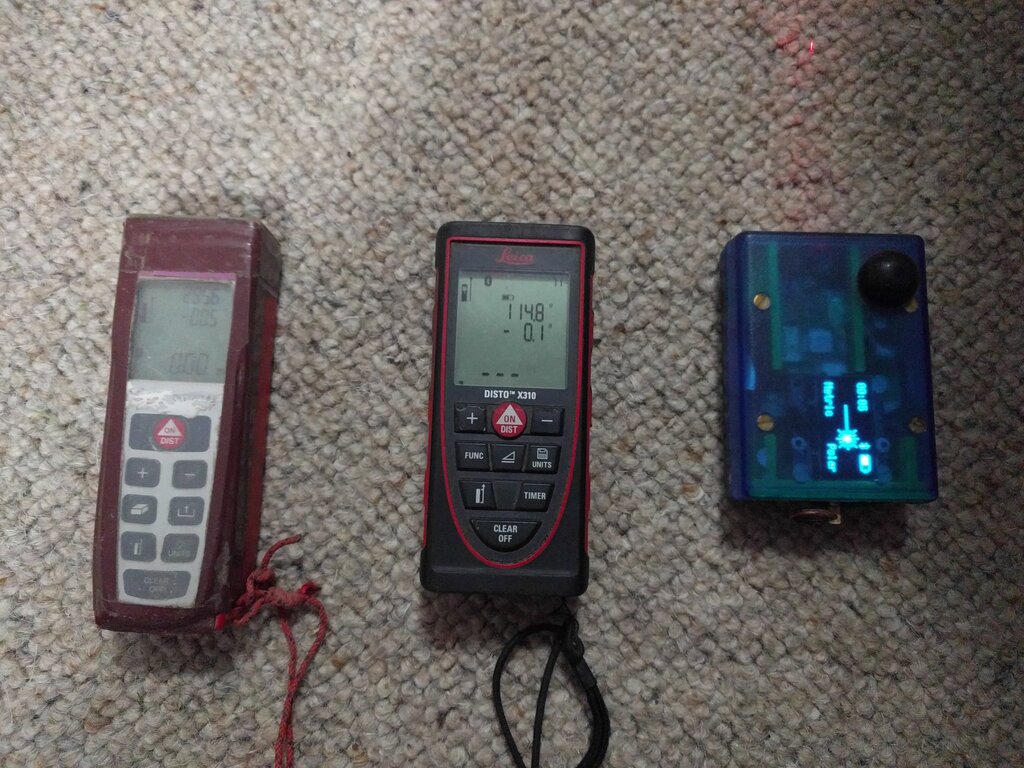
Instruments
- DistoX
Instruments
- DistoX2
Instruments
- SAP2/SAP5 (Shetland attack pony)
- Compass and Clino
- Tape, Laser tape
- GPS/phone
Things to note
Always put names, cave, date, scale
Check device is calibrated
Take digital readings twice/3-times
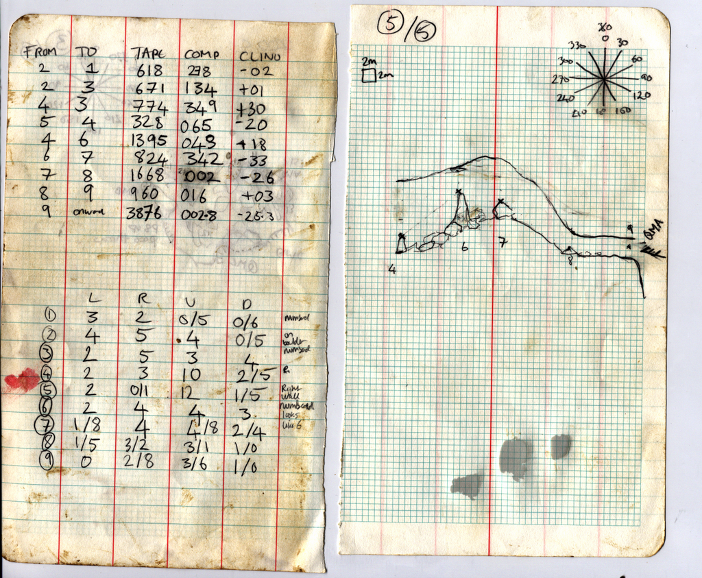
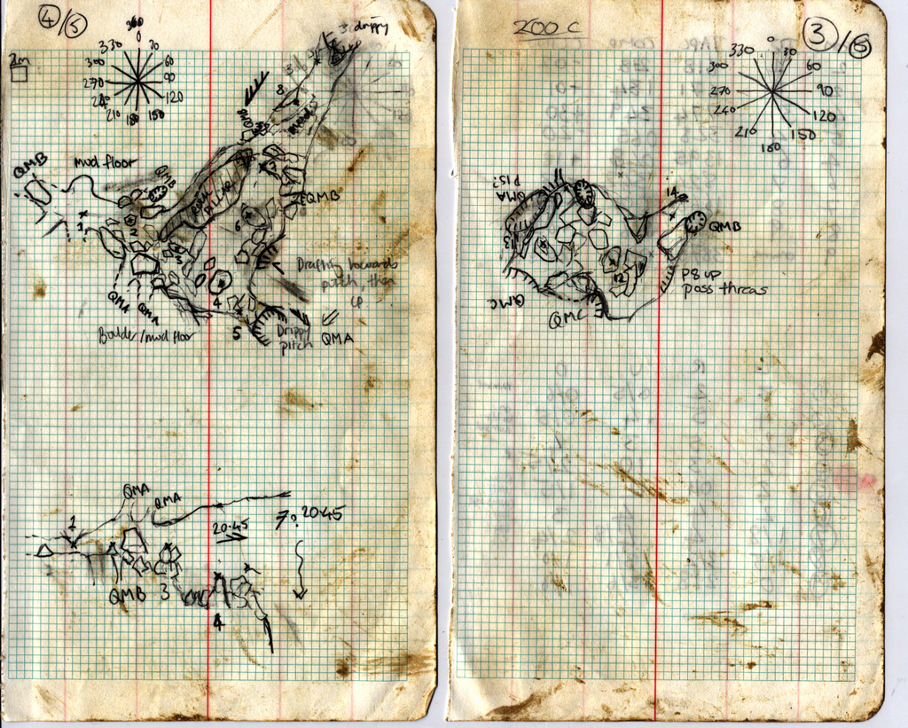
Notes
- Draw to scale (1:250, 1:500)
- Plan
- Elevation
- Cross-sections (perpendicular on pitches)
- LRUD or pitch axes
- Station description
- Rag or waterproof paper
- Book or phone/PDA
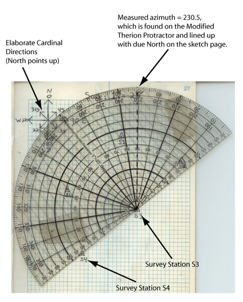
Therion Protractor
Surface
- Survey to cave tag
- Draw an area map
- GPS, usually a leg or two away
- or surface survey from nearest cave
- Use WGS84 - record altitude
- Entrance photo, route description
Afterwards
- Notes go in wallet - allocate number
- Type in data (and LRUD/passages!)
- Check it looks right, print out and draw up
- Add to cave file, and connect
- Write up QMs/description
- Draw up passage (Therion or Tunnel)
Practical
- Bull pot of the witches
- Up to 3 teams
- Try all insts
- Try drawing
- Come back and enter data